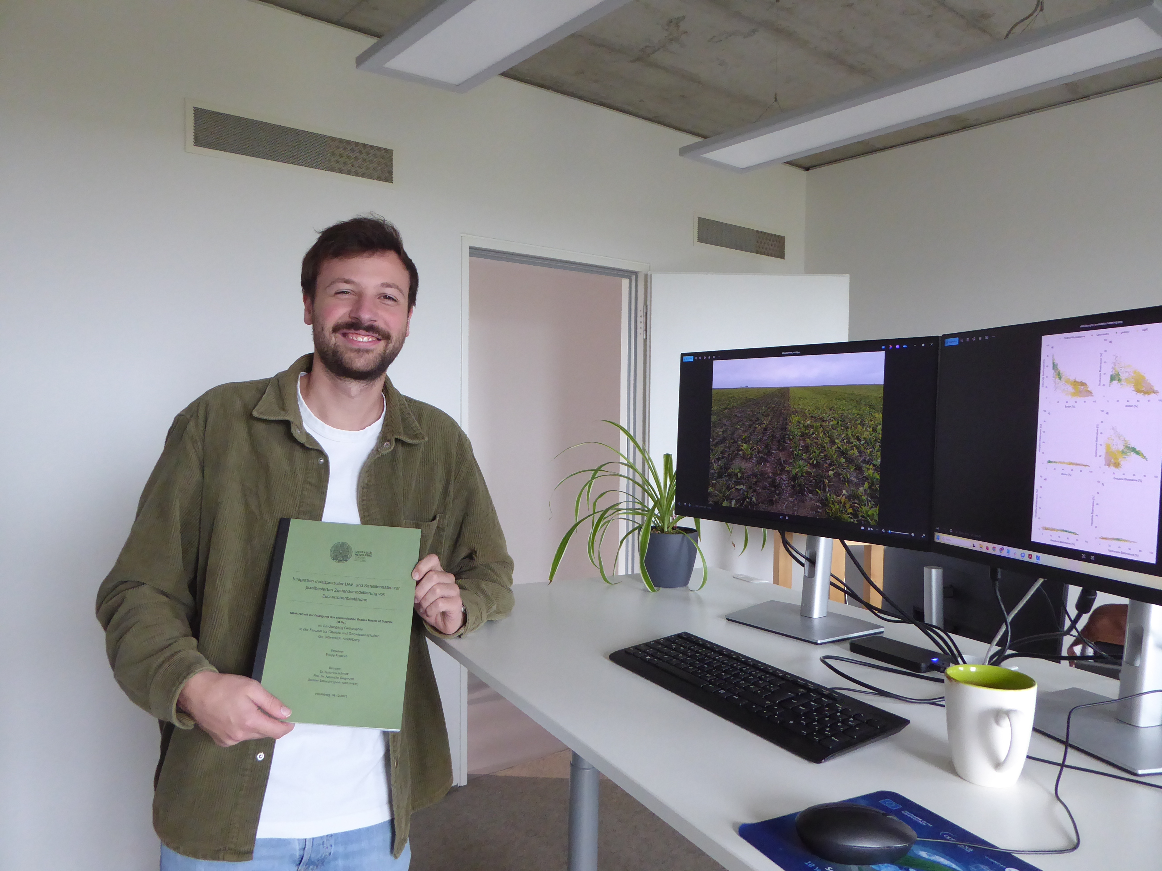
Philipp Friedrich has been working with us as a working student since January. Last week, he has submitted his Master’s thesis and completed his Master's degree in Geography. Congratulations, Philipp!
For his thesis, Philipp used a drone to capture images of sugar beet fields and classified them as healthy, stressed or yellowed leaf mass, or bare soil. Using this data, he created a model that can predict these four categories using freely available Sentinel-2 satellite imagery.
His model facilitates regional sugar beet monitoring, providing an accurate overview of the vegetation status in the fields and forming the basis for targeted disease control. It could also form the basis for emergency approvals of pesticides.
As a part-time farmer (cultivating sugar beets, among other crops), Philipp knows what matters for vegetation monitoring and contributes his expertise to his work.
We are happy that he is going to stay with us and join our team as a Remote Sensing Data Analyst. Congratulations on your master’s degree and welcome to the core green spin team, Philipp!